
Bláhnúkur í Laugum
Description
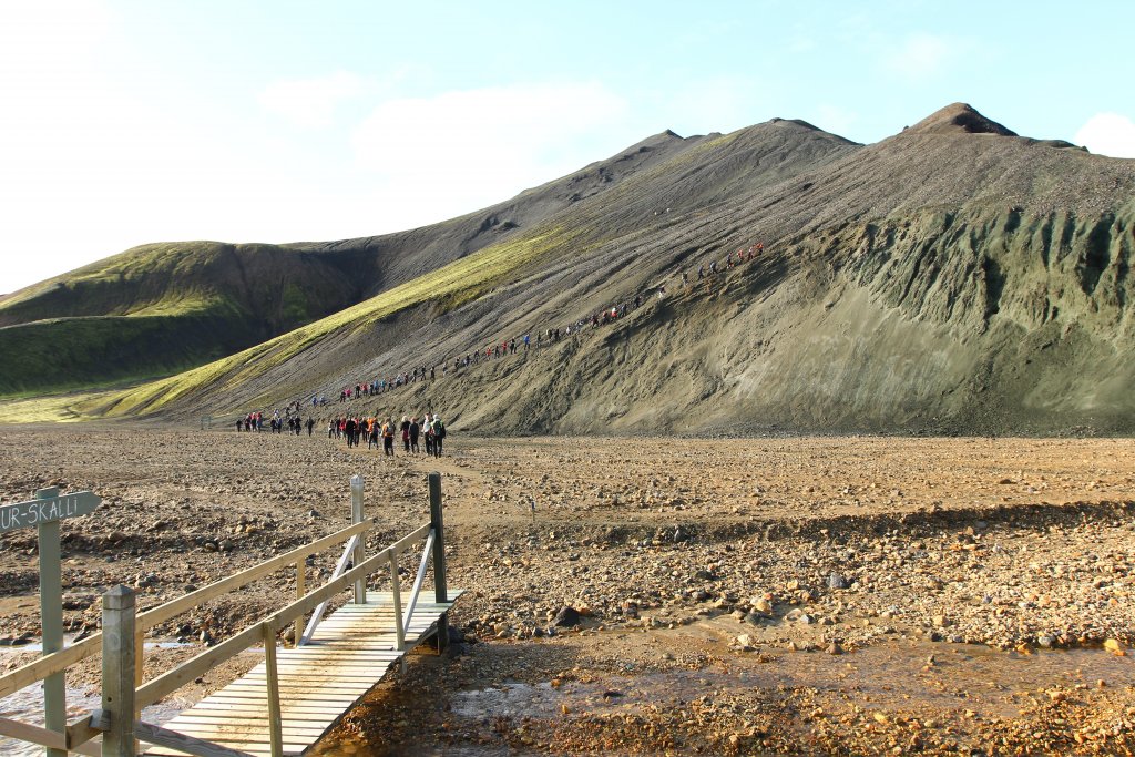
Bláhnúkur is a very beautiful mountain that can easily be called one of Landmannalaugar’s icons. The way to the top is clearly marked and attracts hikers as soon as they arrive in the area. Just east of the hut in Landmannalaugar, the Grænagil ravine opens up and separates Bláhnúkur from Laugahraun lava field. Follow the trail from the hut and once you cross the Brennisteinsöldukvísl river, which flows from Grænagil, you can clearly see where the path up to Bláhnúkur starts. The view intensifies as you get higher and when the weather is good you get an outstanding view of the colourful and breathtaking landscape of Landmannalaugar and its surroundings. Bláhnúkur is 945 meters high but the total elevation is just over 300 meters. After enjoying the views from this wonderful mountain, you can take the same route down again, but there is also a marked route down from the mountain to the west. That path is a bit steep but well accessible and descends down to the bottom of Grænagil. From there you can continue down the gorge back to Landmannalaugar or take a left turn towards Brennisteinsalda and come back to the hut through the lava field. All routes are well marked and easily accessible for all.